
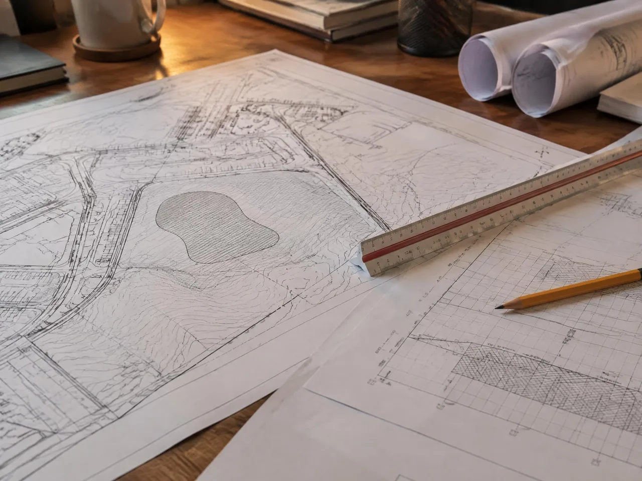
IND-01
Civil Engineers
Design-ready base mapping in your CAD standards.
Photogrammetry · Orthophotography · Aerial Photography · GIS
Aerial photography, photogrammetric mapping and digital orthophotography led by Steve Dillon, ASPRS Certified Photogrammetrist #790. Serving engineers, surveyors and agencies from San Bernardino for 30 years.
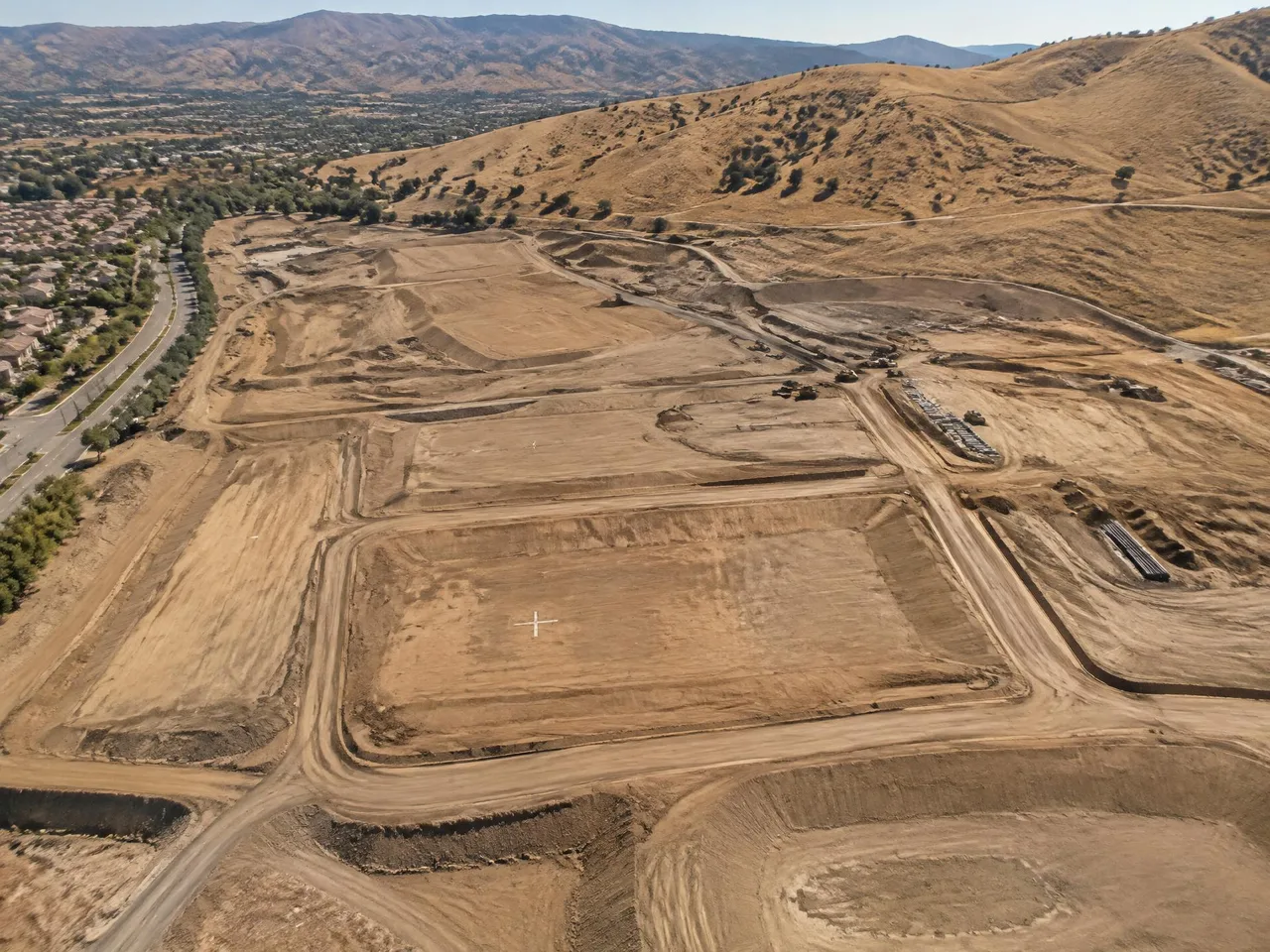
01 / Services
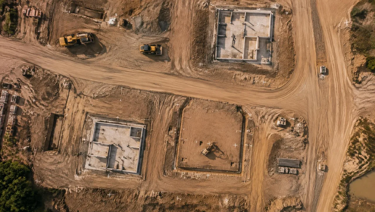
Digital topographic and planimetric mapping led by Steve Dillon, ASPRS Certified Photogrammetrist #790.
Learn moreBlack-and-white and color orthophotos from the final DTM, with planimetric-overlay quality checks.
Learn more SVC-03Black-and-white, color and infrared aerial photography using a Wild RC30 camera with image motion compensation.
Learn more SVC-04Connect overlapping aerial photographs to supplied ground control for consistent photogrammetric mapping.
Learn more SVC-05Digital terrain and elevation models for grading, drainage, hydrology and engineering design.
Learn more SVC-06LiDAR data for terrain interpretation, elevation analysis and GIS workflows.
Learn more SVC-07City-wide GIS/LIS mapping and municipal base mapping for agencies, engineers and planning teams.
Learn more SVC-08A historical aerial photography library from 1965 to present for site research and change detection.
Learn more SVC-09Precision film-to-digital conversion using a Wehrli photogrammetric scanner.
Learn more SVC-10Photogrammetric consulting, mapping standards, specification review and advanced wide-format plotting.
Learn morePrincipal-led mapping
ASPRS Certified Photogrammetrist #790 · since 1989
Terrain and planimetrics
Master DTM, contours and mapped features
National Map Accuracy Standards
Products meet or exceed NMAS
Project coordinates
Control supplied by your surveyor
Stereo and overlay QC
Independent QC review of every stereo model
02 / Who we serve
Design-ready base mapping in your CAD standards.
You supply control; we deliver photogrammetric topography and orthophotos.
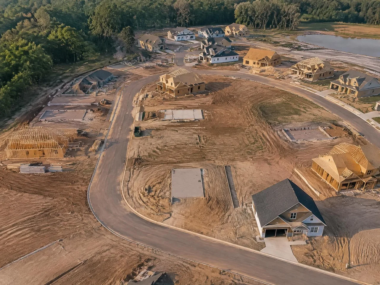
Site planning, terrain data and historical imagery.

City-wide GIS/LIS and municipal base mapping.
03 / Why Arrowhead
The photogrammetric mapping partner for surveyors, engineers and agencies — combining aerial photography, digital mapping and documented quality checks.
Independent QC review of every stereo model checks completeness and accuracy.
Flight planning follows the final map scale and contour specifications.
A master DTM, separate planimetrics and orthophotos built from the final terrain model.
30 years of photogrammetric mapping for surveyors, engineers and agencies.
04 / Process
Agree map scale, contours and accuracy; your surveyor supplies field ground control.
Plan flights, acquire imagery and check overlap, sidelap, tip and tilt.
Compile terrain and planimetrics, with independent QC review of every stereo model.
Review final CAD in stereo and check orthophotos against planimetric overlays.
Unique resource
Historical aerial imagery for site research, due diligence and change detection.
05 / Selected project experience
Tribal/Recreation
Education
Education
Water & Drainage/Reclamation
Municipal
Federal
Transportation
Transportation
// Request a quote
Send us your plans and schedule. We'll respond with a clear scope, fee and timeline.
Questions or quotes: Jeff Dillon, jeff@arrowheadmapping.com · (909) 889-2420