
// Service
DTM & DEM
Digital terrain and elevation models for grading, drainage, hydrology and engineering design.
Mapping led by Steve Dillon, ASPRS Certified Photogrammetrist #790
What is it?
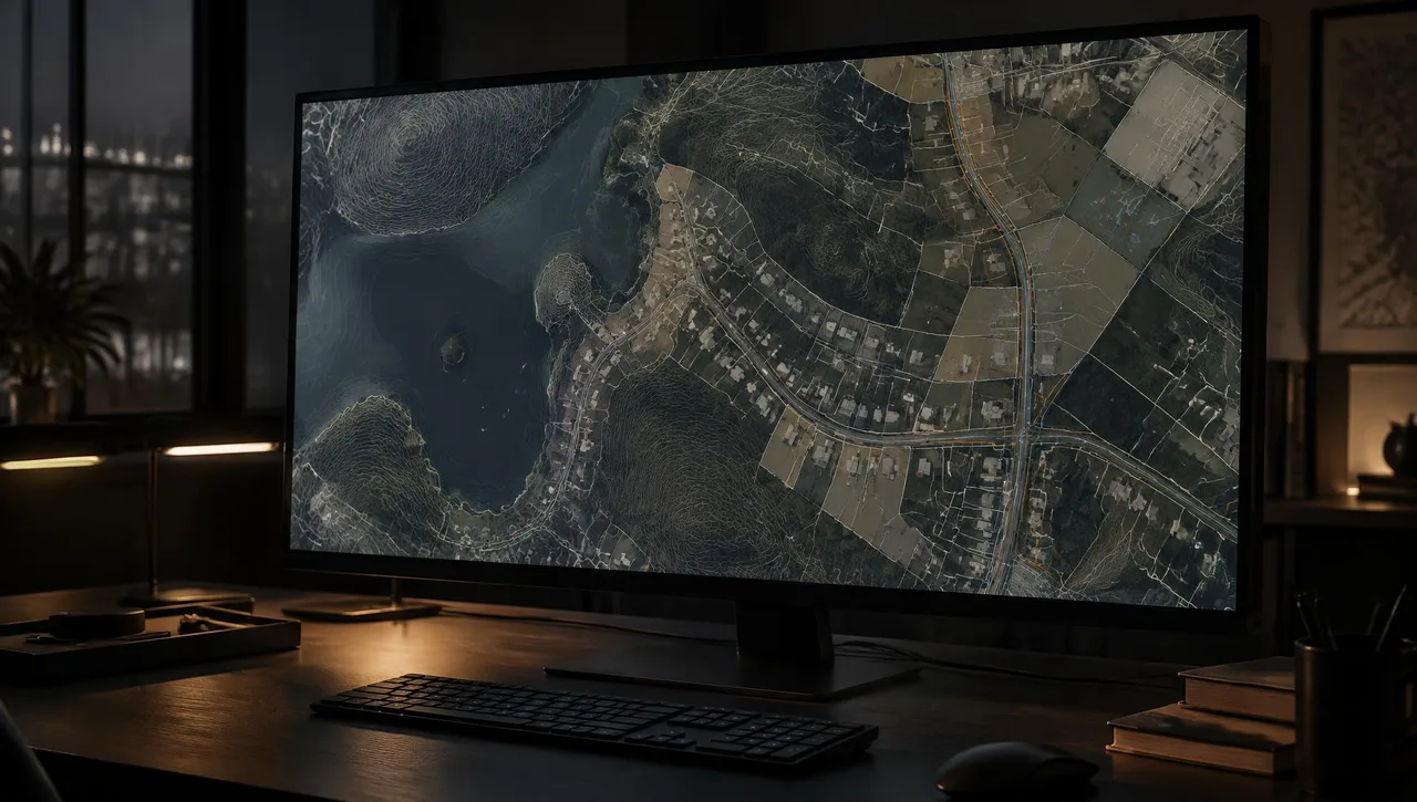
A digital terrain model (DTM) represents terrain using elevation information and breaklines; a digital elevation model (DEM) commonly represents elevations on a grid. Arrowhead’s CAD editor consolidates stereo models into a master DTM file and a separate planimetric file, generates contours from the DTM, and reviews final CAD again on the stereo instrument.
Typical uses
- Grading and earthwork design
- Hydrology and drainage analysis
- Profiles and cross sections
- Terrain input for orthophotography
What you get
- D-01 Master digital terrain model
- D-02 Digital elevation model to the agreed specification
- D-03 Contours from the DTM
- D-04 Separate planimetric mapping file
Typical process
- 01
Define the scope
Share the site limits, intended use, accuracy requirements and required formats.
- 02
Review inputs
Review available imagery, control supplied by the client’s surveyor and project specifications.
- 03
Prepare the mapping product
Process the agreed inputs and review the result against the project requirements.
- 04
Review and deliver
Check the files and package the agreed deliverables for the receiving team.
Frequently asked questions
How do a DTM and DEM differ?
A DTM typically describes terrain with points and breaklines, while a DEM commonly stores elevations as a grid. Agree the data structure and intended use before ordering.
Where do contours come from?
Contours are generated from the DTM after stereo compilation and consolidation. Their interval is set by the project specifications.
What should I specify?
Provide limits, coordinate system, vertical datum, units, contour interval, accuracy requirements and the CAD or GIS format needed by your team.
// Request a quote
Have a project on the board?
Send us your plans and schedule. We'll respond with a clear scope, fee and timeline.
Questions or quotes: Jeff Dillon, jeff@arrowheadmapping.com · (909) 889-2420