
Unique resource
Historical Aerial Photo Archive
A historical aerial photography library from 1965 to present for site research and change detection.
Mapping led by Steve Dillon, ASPRS Certified Photogrammetrist #790
What is it?
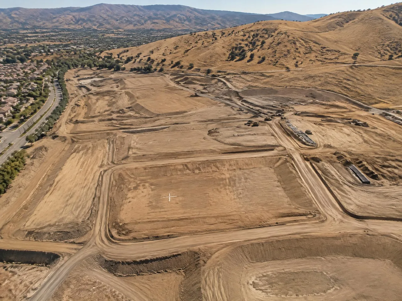
Arrowhead’s historical aerial photo archive contains imagery from 1965 to present. Historical photography can reveal earlier site conditions and changes over time. Availability for a particular site and date must be confirmed from the archive; request imagery using a site location, area of interest and the years you need.
Typical uses
- Historical site conditions
- Environmental and due-diligence research
- Change detection
- Litigation support
- Prior grading and drainage history
What you get
- D-01 Available archive imagery for the requested site
- D-02 Selected dates confirmed from archive coverage
- D-03 Digital images or plotting as agreed
Typical process
- 01
Define the scope
Share the site limits, intended use, accuracy requirements and required formats.
- 02
Review inputs
Review available imagery, control supplied by the client’s surveyor and project specifications.
- 03
Prepare the mapping product
Process the agreed inputs and review the result against the project requirements.
- 04
Review and deliver
Check the files and package the agreed deliverables for the receiving team.
Frequently asked questions
Which years does the archive cover?
The library spans 1965 to present. Coverage of a specific site and individual dates varies and must be confirmed.
What information should I send?
Send the address or coordinates, an area-of-interest map and the date range. Explain the research purpose and preferred image format.
Can archive photography support due diligence or litigation?
Historical imagery can support investigation of site conditions and changes over time. Interpretation and legal conclusions should be evaluated by the appropriate professionals.
// Request a quote
Have a project on the board?
Send us your plans and schedule. We'll respond with a clear scope, fee and timeline.
Questions or quotes: Jeff Dillon, jeff@arrowheadmapping.com · (909) 889-2420