
// Service
Digital Orthophotography & Orthomosaics
Black-and-white and color orthophotos from the final DTM, with planimetric-overlay quality checks.
Mapping led by Steve Dillon, ASPRS Certified Photogrammetrist #790
What is it?
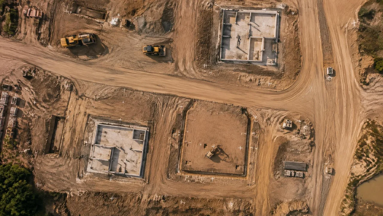
Orthophotography (orthographic photography) corrects aerial imagery for camera tilt and terrain relief so it has uniform scale and can be measured like a map. Orthomosaics combine corrected images into one seamless image. Arrowhead generates black-and-white and color orthophotos from the final DTM, typically at 0.25 ft pixel size, varying with project size. Horizontal position is checked by overlaying the planimetric file on the orthophoto.
Typical uses
- Civil design base imagery
- Existing-conditions and entitlement exhibits
- Planimetric feature extraction
- Earthwork progress records and GIS basemaps
What you get
- D-01 Black-and-white or color digital orthophotos
- D-02 Project-specific pixel size (typically 0.25 ft)
- D-03 Georeferenced imagery in agreed formats
- D-04 Planimetric-overlay QC
What to specify
Specify ground sample distance (pixel size), coordinate system (CCS83 / State Plane zone and NAVD88 where elevations apply), horizontal RMSE where required under the ASPRS Positional Accuracy Standards, file format, seamline quality and collection date. Accuracy is specified per project; products meet or exceed National Map Accuracy Standards.
Standard ortho and building lean
A standard orthophoto derived from a terrain model can retain building lean on tall structures. True-ortho methods address elevated features using appropriate surface information. Discuss the treatment of buildings when specifying imagery, and pair orthophotos with topographic mapping and planimetrics.
Typical process
- 01
Define the scope
Share the site limits, intended use, accuracy requirements and required formats.
- 02
Review inputs
Review available imagery, control supplied by the client’s surveyor and project specifications.
- 03
Prepare the mapping product
Process the agreed inputs and review the result against the project requirements.
- 04
Review and deliver
Check the files and package the agreed deliverables for the receiving team.
Related experience
- Eastern Transportation Corridor (Route 241)
- San Joaquin Hills Transportation Corridor (Route 73)
- City of Industry
Frequently asked questions
What is an orthophoto?
An orthophoto is an aerial photograph corrected for camera tilt and terrain relief to produce uniform-scale imagery. An orthomosaic combines multiple corrected images.
How does an orthophoto differ from an aerial photograph?
A conventional aerial photograph can show varying scale and displaced features. An orthophoto corrects tilt and terrain effects so imagery can align with mapped features.
What resolution do I need?
Arrowhead’s orthophotos typically use 0.25 ft pixels, varying with project size. Select pixel size for your intended use, and specify positional accuracy separately per project.
Which file format should I request?
GeoTIFF is common for georeferenced imagery, with tiling useful for large areas. Discuss ECW/JPEG2000 or MrSID requirements during scoping and confirm the delivery format.
// Request a quote
Have a project on the board?
Send us your plans and schedule. We'll respond with a clear scope, fee and timeline.
Questions or quotes: Jeff Dillon, jeff@arrowheadmapping.com · (909) 889-2420