
// Service area · Inland Empire
Photogrammetric Mapping in the Inland Empire
San Bernardino & Riverside counties — our home region.
Mapping in the Inland Empire
The Inland Empire is one of the largest logistics and distribution hubs in the country. Large warehouse and industrial sites along the I-10, I-15 and SR-60 corridors sit alongside fast-growing residential communities, which keeps demand high for photogrammetric topography, terrain models and orthophoto basemaps for engineering teams.
Terrain ranges from flat valley floors to foothill slopes at the base of the San Bernardino and San Gabriel Mountains, so grading, drainage and existing-conditions data matter on almost every project. Arrowhead Mapping is headquartered in San Bernardino, in the middle of this region.
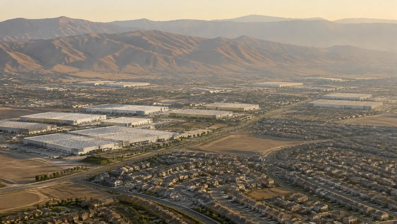
Cities served in San Bernardino & Riverside counties
- San Bernardino
- Riverside
- Ontario
- Rancho Cucamonga
- Fontana
- Redlands
- Rialto
- Colton
- Highland
- Moreno Valley
- Corona
- Chino
- Temecula
- Murrieta
Relevant mapping services
Photogrammetric Mapping
Topography and planimetrics for large building pads and drainage design.
Learn moreDTM & DEM
Terrain models for grading and hydrology.
Learn moreDigital Orthophotography
Coordinated imagery for industrial and residential planning.
Learn moreAerial Photography (B&W, Color & Infrared)
Aerial coverage of large-acreage sites.
Learn more
Inland Empire FAQs
Can aerial mapping support warehouse and logistics design?
Photogrammetric terrain and planimetric mapping support pad, grading and drainage design. The client’s surveyor supplies field control and any supplemental observations.
Do you work in both San Bernardino and Riverside counties?
Yes. Arrowhead serves the Inland Empire from its San Bernardino headquarters.
What information helps scope a local mapping project?
Send the site limits, required map scale and contours, coordinates, intended use and schedule. Identify the surveyor supplying field control.
// Request a quote
Mapping work in the Inland Empire
Send us your plans and schedule. We'll respond with a clear scope, fee and timeline.
Questions or quotes: Jeff Dillon, jeff@arrowheadmapping.com · (909) 889-2420