
// Service
Aerial Photography (B&W, Color & Infrared)
Black-and-white, color and infrared aerial photography using a Wild RC30 camera with image motion compensation.
Mapping led by Steve Dillon, ASPRS Certified Photogrammetrist #790
What is it?
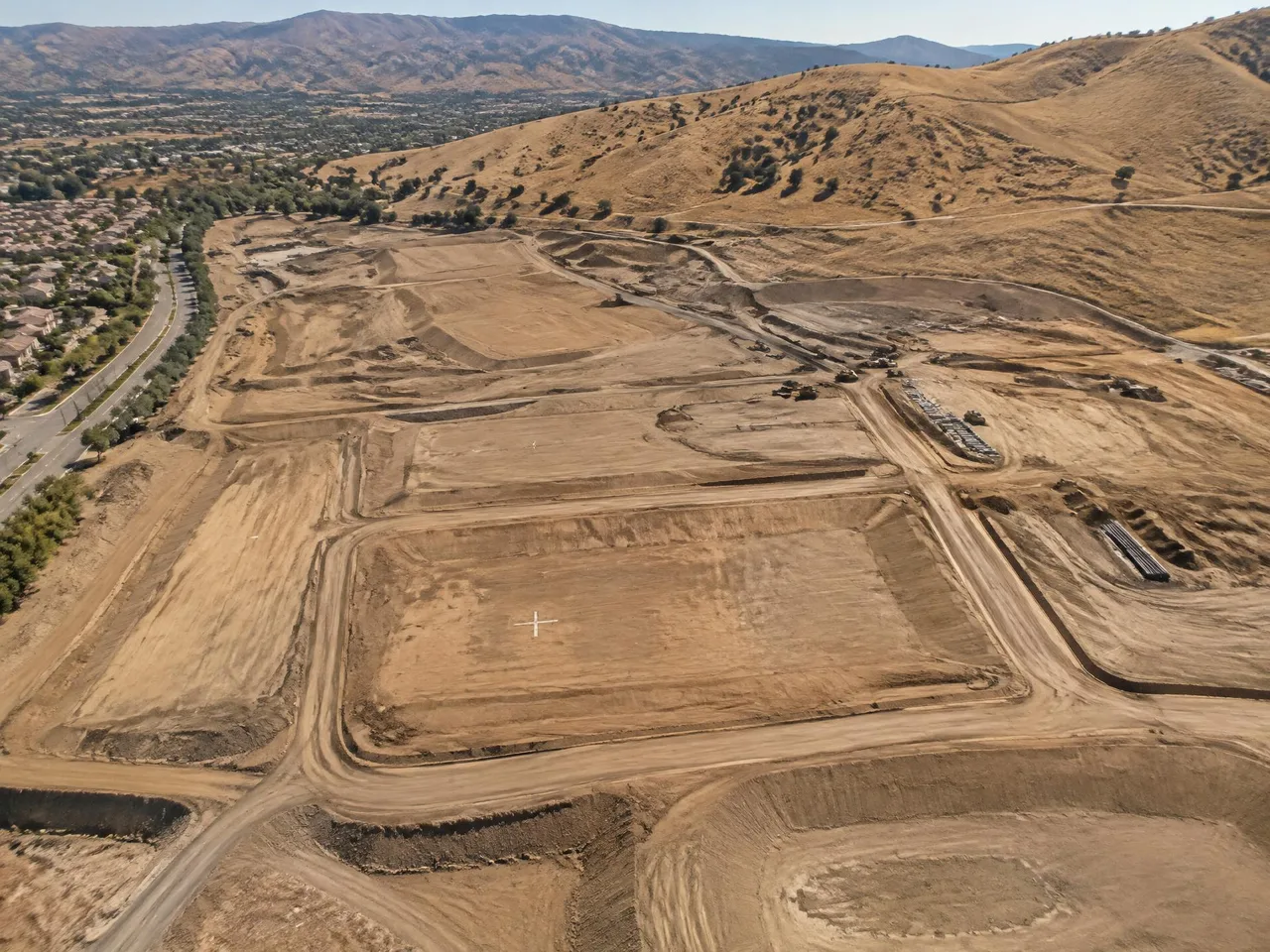
Aerial photography captures site conditions for mapping and image interpretation. Arrowhead uses a Wild RC30 aerial camera with image motion compensation and offers black-and-white, color and infrared photography. Flight plans are designed around the accuracy required by the final map scale and contour specifications.
Typical uses
- Mapping source photography
- Site-condition and progress records
- Environmental image interpretation
- Design and public-outreach exhibits
What you get
- D-01 Black-and-white, color or infrared photography
- D-02 Digital images from precision film scanning
- D-03 Coverage planned to map scale and contour specifications
- D-04 Photography reviewed for overlap, sidelap, tip and tilt
Typical process
- 01
Define the scope
Share the site limits, intended use, accuracy requirements and required formats.
- 02
Review inputs
Review available imagery, control supplied by the client’s surveyor and project specifications.
- 03
Prepare the mapping product
Process the agreed inputs and review the result against the project requirements.
- 04
Review and deliver
Check the files and package the agreed deliverables for the receiving team.
Frequently asked questions
Which types of aerial photography are available?
Black-and-white, color and infrared aerial photography are available. Select the image type for the intended mapping or interpretation task.
How are flights planned?
Flight plans are designed for the accuracy required by the final map scale and contour specifications, using control supplied by the client’s surveyor.
When are flights scheduled?
Flights are scheduled on clear days between 10:30 a.m. and 2:30 p.m., with at least 5 miles visibility per FAA flight service.
How is photography reviewed?
Photography is checked for overlap, sidelap, tip and tilt before it moves through processing and precision scanning.
// Request a quote
Have a project on the board?
Send us your plans and schedule. We'll respond with a clear scope, fee and timeline.
Questions or quotes: Jeff Dillon, jeff@arrowheadmapping.com · (909) 889-2420