
// Service area · Los Angeles County
Photogrammetric Mapping in Los Angeles County
Urban infill, redevelopment and infrastructure across LA County.
Mapping in Los Angeles County
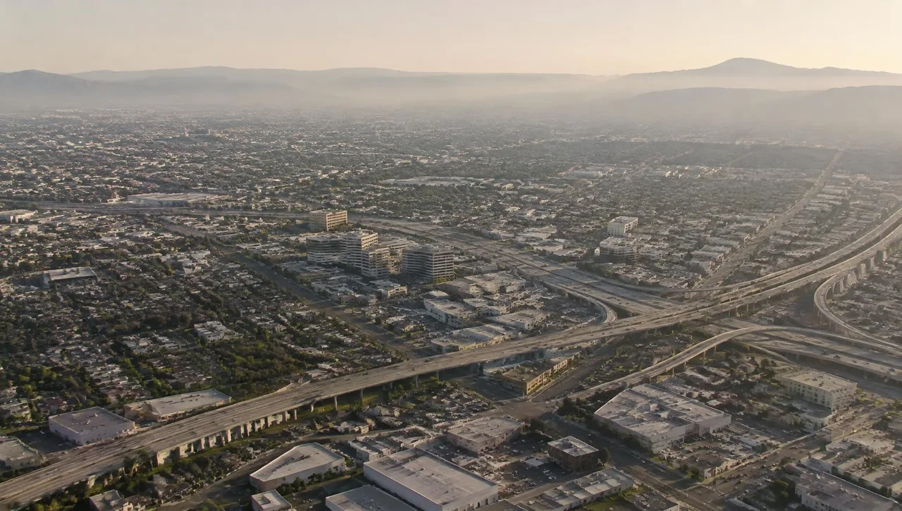
Los Angeles County is the most populous county in the United States, and much of its development is dense urban infill and redevelopment. Tight lots, zero-lot-line construction, existing structures and crowded rights-of-way make accurate existing-conditions mapping essential before design starts.
From older neighborhoods with decades of recorded maps to hillside parcels in the foothills and the Santa Clarita Valley, projects here often call for coordinated aerial imagery and detailed photogrammetric mapping of visible improvements and slopes; obscured features require supplemental observations by the client’s surveyor.
Cities served in Los Angeles County
- Los Angeles
- Pomona
- Pasadena
- Long Beach
- Santa Clarita
- Glendale
- Torrance
- West Covina
- Diamond Bar
Relevant mapping services
Photogrammetric Mapping
Existing-conditions mapping of visible features for redevelopment.
Learn moreDigital Orthophotography
Uniform-scale imagery for infrastructure and exhibits.
Learn moreGIS & LIS Mapping
Municipal and city-wide GIS/LIS base mapping.
Learn moreHistorical Aerial Photo Archive (1965–present)
Historical conditions and changes over time.
Learn more
Los Angeles County FAQs
How does aerial mapping support urban redevelopment?
Aerial imagery and visible-feature mapping provide broad existing-conditions context. Obscured features and measurements that cannot be captured from the air require the client’s surveyor or other appropriate specialists.
Can mapping support an ALTA/NSPS survey?
Photogrammetric topography can be supplied to the surveyor of record for Table A Item 5. Arrowhead’s contribution is mapping, not the field land-title survey.
What matters on hillside sites?
Specify coverage, contour interval and drainage context. Vegetation and obscured terrain may require supplemental field observations supplied by the client’s surveyor.
// Request a quote
Mapping work in Los Angeles County
Send us your plans and schedule. We'll respond with a clear scope, fee and timeline.
Questions or quotes: Jeff Dillon, jeff@arrowheadmapping.com · (909) 889-2420