
// Service
GIS & LIS Mapping
City-wide GIS/LIS mapping and municipal base mapping for agencies, engineers and planning teams.
Mapping led by Steve Dillon, ASPRS Certified Photogrammetrist #790
What is it?
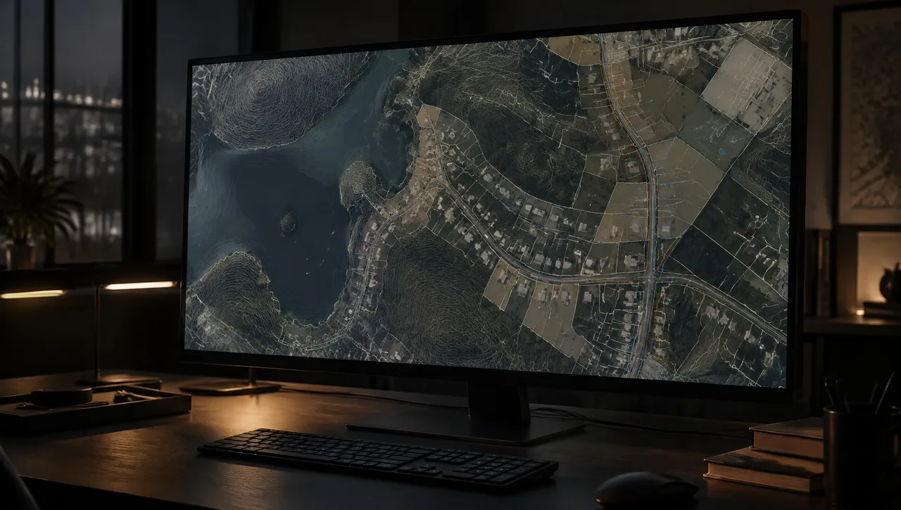
Geographic information systems (GIS) and land information systems (LIS) organize spatial information for planning, infrastructure and land-management decisions. Arrowhead provides GIS and LIS mapping, including city-wide mapping and municipal base mapping. Photogrammetric topography, planimetrics and orthophotos provide coordinated base data for these systems.
Typical uses
- City-wide GIS and LIS programs
- Municipal base mapping
- Infrastructure planning and exhibits
- Consistent mapping across multiple sites
What you get
- D-01 GIS/LIS base mapping
- D-02 Topographic and planimetric layers
- D-03 Orthophoto basemaps
- D-04 Digital mapping in agreed schemas and formats
Typical process
- 01
Define the scope
Share the site limits, intended use, accuracy requirements and required formats.
- 02
Review inputs
Review available imagery, control supplied by the client’s surveyor and project specifications.
- 03
Prepare the mapping product
Process the agreed inputs and review the result against the project requirements.
- 04
Review and deliver
Check the files and package the agreed deliverables for the receiving team.
Related experience
- City of Industry
- Mecca Sewer Project
- University of California, Santa Barbara
Frequently asked questions
Do you provide city-wide GIS/LIS mapping?
Yes. City-wide GIS and LIS mapping and municipal base mapping are part of Arrowhead’s confirmed services.
Can mapping match an existing schema?
Share the receiving system’s schema, layers, coordinates and file requirements so the deliverables can be scoped accordingly.
How do orthophotos support GIS?
Orthophotos provide a uniform-scale imagery base that can be coordinated with terrain and planimetric layers for interpretation and planning.
// Request a quote
Have a project on the board?
Send us your plans and schedule. We'll respond with a clear scope, fee and timeline.
Questions or quotes: Jeff Dillon, jeff@arrowheadmapping.com · (909) 889-2420