
// Service
LiDAR Data
LiDAR data for terrain interpretation, elevation analysis and GIS workflows.
Mapping led by Steve Dillon, ASPRS Certified Photogrammetrist #790
What is it?
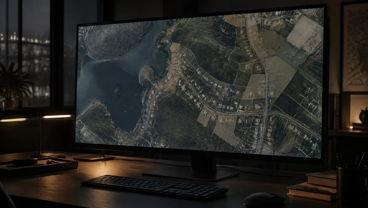
LiDAR measures distances with laser pulses to produce three-dimensional data. Arrowhead provides LiDAR data within its mapping services. Define coverage, classification, density and required accuracy for the intended terrain, design or GIS use; collection and processing requirements are scoped per project.
Typical uses
- Terrain and elevation analysis
- Vegetation and surface interpretation
- Design data evaluation
- GIS elevation basemaps
What you get
- D-01 LiDAR data to the agreed coverage
- D-02 Point-data format specified per project
- D-03 Agreed classification and spatial reference
- D-04 Supporting terrain products where scoped
Typical process
- 01
Define the scope
Share the site limits, intended use, accuracy requirements and required formats.
- 02
Review inputs
Review available imagery, control supplied by the client’s surveyor and project specifications.
- 03
Prepare the mapping product
Process the agreed inputs and review the result against the project requirements.
- 04
Review and deliver
Check the files and package the agreed deliverables for the receiving team.
Frequently asked questions
What is LiDAR data?
LiDAR is three-dimensional distance data produced from laser measurements, often organized as a point cloud.
Does LiDAR always measure ground through vegetation?
No. Ground returns depend on gaps in vegetation, collection conditions and data density. Review coverage and ground classification for the intended use.
What should I include in a request?
State the site limits, intended use, required density and classification, coordinate system, accuracy and preferred data format.
// Request a quote
Have a project on the board?
Send us your plans and schedule. We'll respond with a clear scope, fee and timeline.
Questions or quotes: Jeff Dillon, jeff@arrowheadmapping.com · (909) 889-2420