6 MIN READ
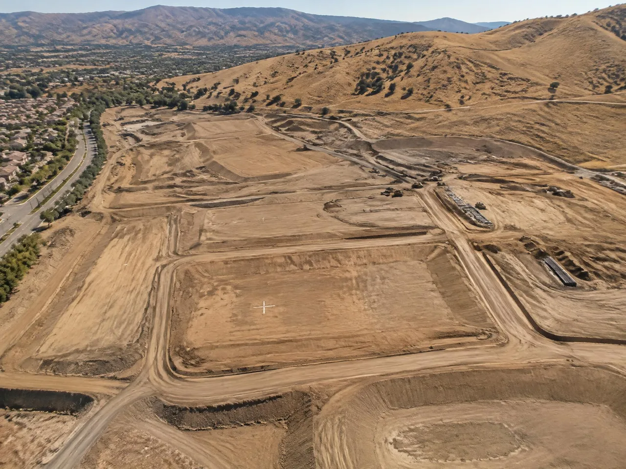
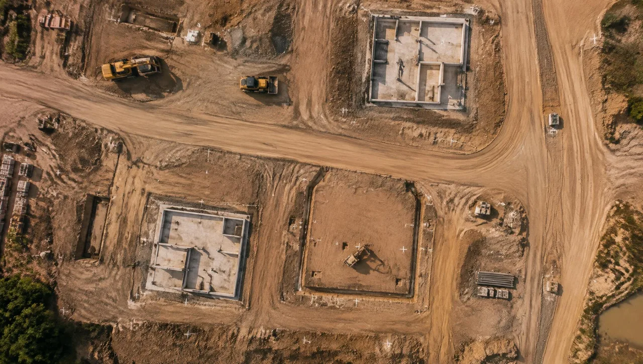
Aerial Photogrammetry vs. Ground Survey: How to Choose for Your Site
Aerial mapping or ground survey? Compare accuracy, site size, vegetation, safety, schedule and cost so you pick the right method for your SoCal project.
Read article →RESOURCES
Practical guides to survey methods, mapping accuracy and the deliverables your project needs.
6 MIN READ
Aerial mapping or ground survey? Compare accuracy, site size, vegetation, safety, schedule and cost so you pick the right method for your SoCal project.
Read article →5 MIN READ
What ASPRS certification requires, how the 2024 accuracy standards work, and why a Certified Photogrammetrist matters for your mapping project.
Read article →6 MIN READ
Contours, DTMs, TINs, orthophotos and point clouds explained: what each topographic mapping deliverable is, how it is used, and what to specify.
Read article →