Skip to content
Arrowhead Mapping

// Services

Photogrammetric mapping services

Aerial photography, photogrammetric mapping and digital imagery for surveyors, engineers and agencies. Field control supplied by your surveyor.

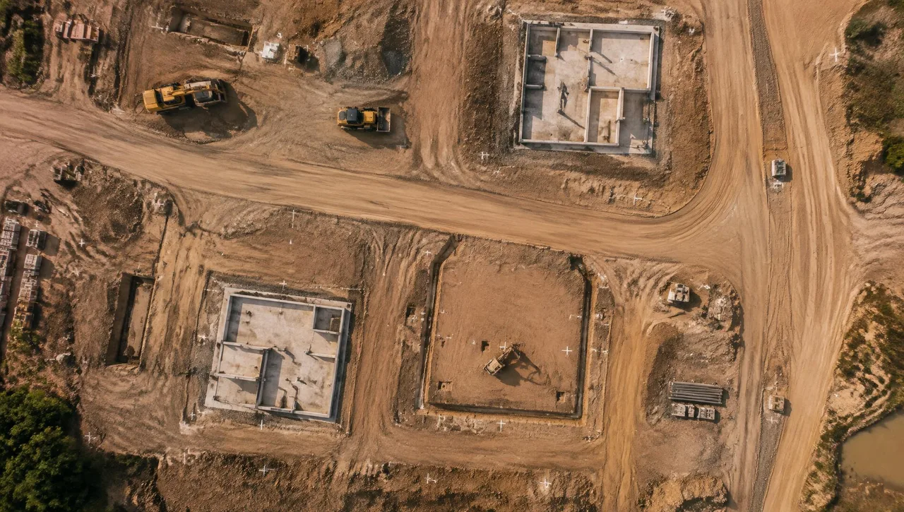
Top-down orthographic aerial view of a construction site with white ground control targets
SVC-01

Photogrammetric Mapping

Digital topographic and planimetric mapping led by Steve Dillon, ASPRS Certified Photogrammetrist #790.

  • Master DTM file
  • Separate planimetric file
  • Contours generated from the DTM
Explore Photogrammetric Mapping
Top-down orthographic aerial view of a construction site with white ground control targets
SVC-02

Digital Orthophotography

Black-and-white and color orthophotos from the final DTM, with planimetric-overlay quality checks.

  • Black-and-white or color digital orthophotos
  • Project-specific pixel size (typically 0.25 ft)
  • Georeferenced imagery in agreed formats
Explore Digital Orthophotography
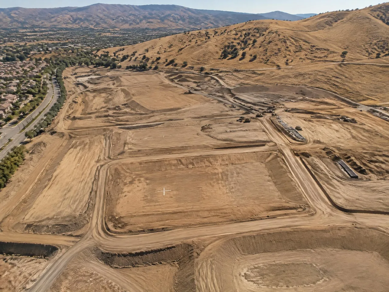
Aerial view of a graded development site in an inland valley with white ground control targets and dry hills behind
SVC-03

Aerial Photography (B&W, Color & Infrared)

Black-and-white, color and infrared aerial photography using a Wild RC30 camera with image motion compensation.

  • Black-and-white, color or infrared photography
  • Digital images from precision film scanning
  • Coverage planned to map scale and contour specifications
Explore Aerial Photography (B&W, Color & Infrared)
Aerial view of a graded development site in an inland valley with white ground control targets and dry hills behind
SVC-04

Aerial Triangulation

Connect overlapping aerial photographs to supplied ground control for consistent photogrammetric mapping.

  • Image orientation for the mapping block
  • Control-referenced photogrammetric setup
  • Inputs for stereo compilation and orthophoto production
Explore Aerial Triangulation
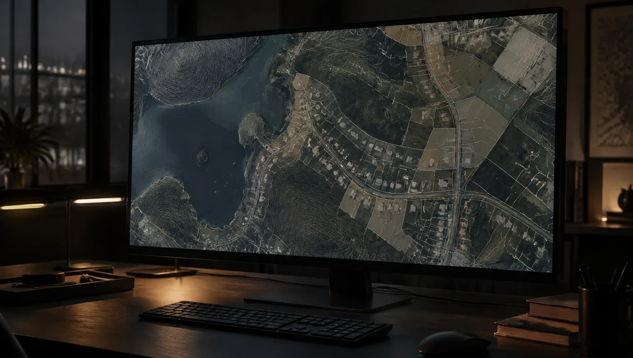
Layered parcel and contour map visualization on a large monitor in a darkened office
SVC-05

DTM & DEM

Digital terrain and elevation models for grading, drainage, hydrology and engineering design.

  • Master digital terrain model
  • Digital elevation model to the agreed specification
  • Contours from the DTM
Explore DTM & DEM
Layered parcel and contour map visualization on a large monitor in a darkened office
SVC-06

LiDAR Data

LiDAR data for terrain interpretation, elevation analysis and GIS workflows.

  • LiDAR data to the agreed coverage
  • Point-data format specified per project
  • Agreed classification and spatial reference
Explore LiDAR Data
Layered parcel and contour map visualization on a large monitor in a darkened office
SVC-07

GIS & LIS Mapping

City-wide GIS/LIS mapping and municipal base mapping for agencies, engineers and planning teams.

  • GIS/LIS base mapping
  • Topographic and planimetric layers
  • Orthophoto basemaps
Explore GIS & LIS Mapping
Aerial view of a graded development site in an inland valley with white ground control targets and dry hills behind
Unique resource

Historical Aerial Photo Archive (1965–present)

A historical aerial photography library from 1965 to present for site research and change detection.

  • Available archive imagery for the requested site
  • Selected dates confirmed from archive coverage
  • Digital images or plotting as agreed
Explore Historical Aerial Photo Archive (1965–present)
Layered parcel and contour map visualization on a large monitor in a darkened office
SVC-09

Precision Photogrammetric Scanning

Precision film-to-digital conversion using a Wehrli photogrammetric scanner.

  • Precision-scanned digital images
  • Film-to-digital conversion
  • Agreed scan resolution and output format
Explore Precision Photogrammetric Scanning
Layered parcel and contour map visualization on a large monitor in a darkened office
SVC-10

Consulting & Wide-Format Plotting

Photogrammetric consulting, mapping standards, specification review and advanced wide-format plotting.

  • Photogrammetric consulting
  • Mapping specification review
  • Standards and workflow guidance
Explore Consulting & Wide-Format Plotting

// Request a quote

Have a project on the board?

Send us your plans and schedule. We'll respond with a clear scope, fee and timeline.

Questions or quotes: Jeff Dillon, jeff@arrowheadmapping.com · (909) 889-2420