
// Industries
Photogrammetric Mapping for Your Industry
We work alongside the teams that design, build and maintain infrastructure — and we tailor deliverables to how each of them works.
01 / Industry
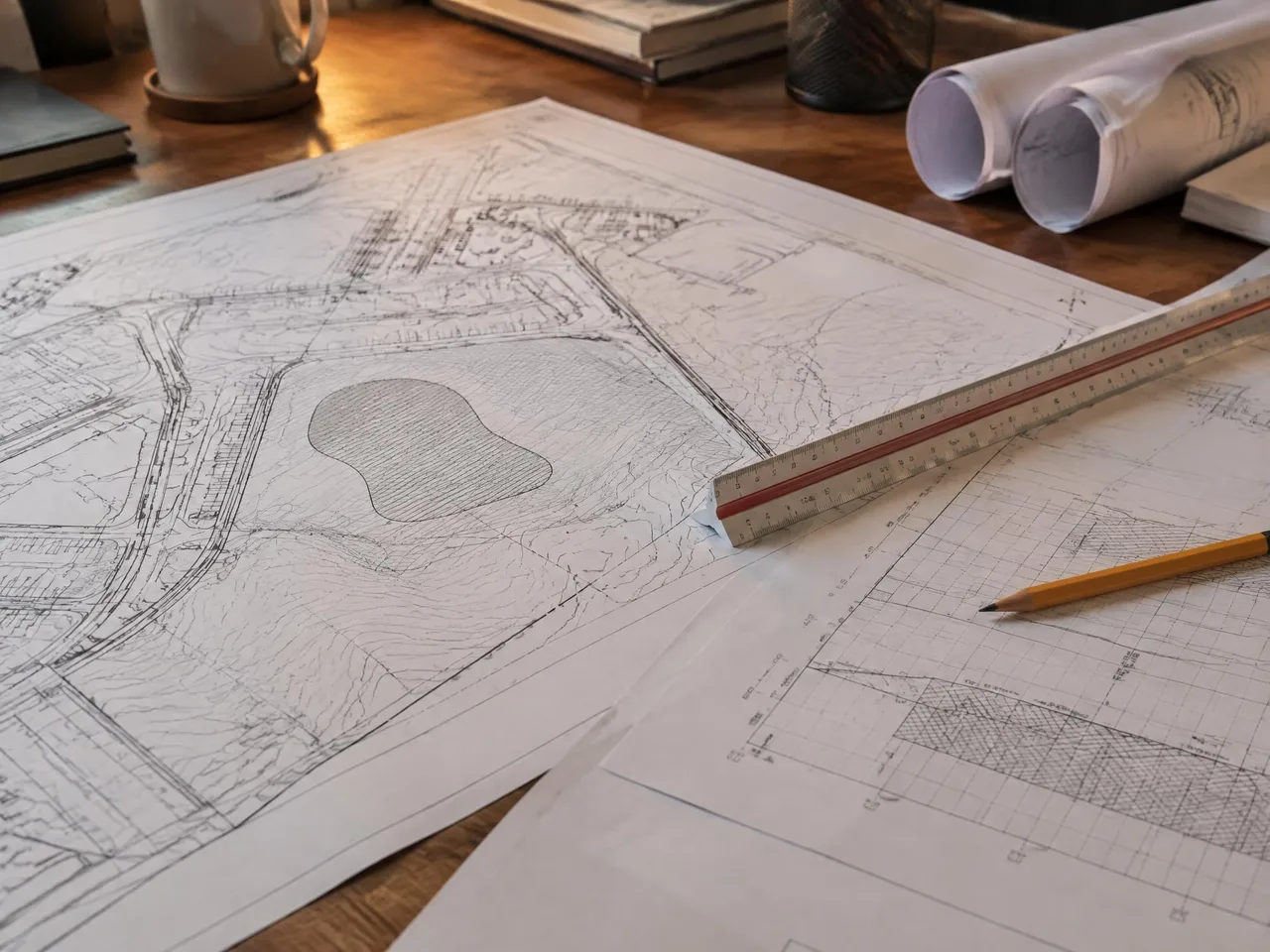
Civil Engineers
Design-ready photogrammetric base mapping, terrain models and orthophotos for engineering projects.
Common needs
- Topographic and planimetric mapping
- Terrain models for grading and drainage
- Orthophoto design basemaps
- Project coordinates and specifications
Related services
02 / Industry
Land Surveyors
Mapping partner to surveyors — you supply control, we deliver photogrammetric topography and orthophotos.
Common needs
- Aerial mapping tied to supplied field control
- Topography for ALTA/NSPS Table A Item 5
- Planimetric mapping
- Coordinated imagery and terrain data
Related services
03 / Industry
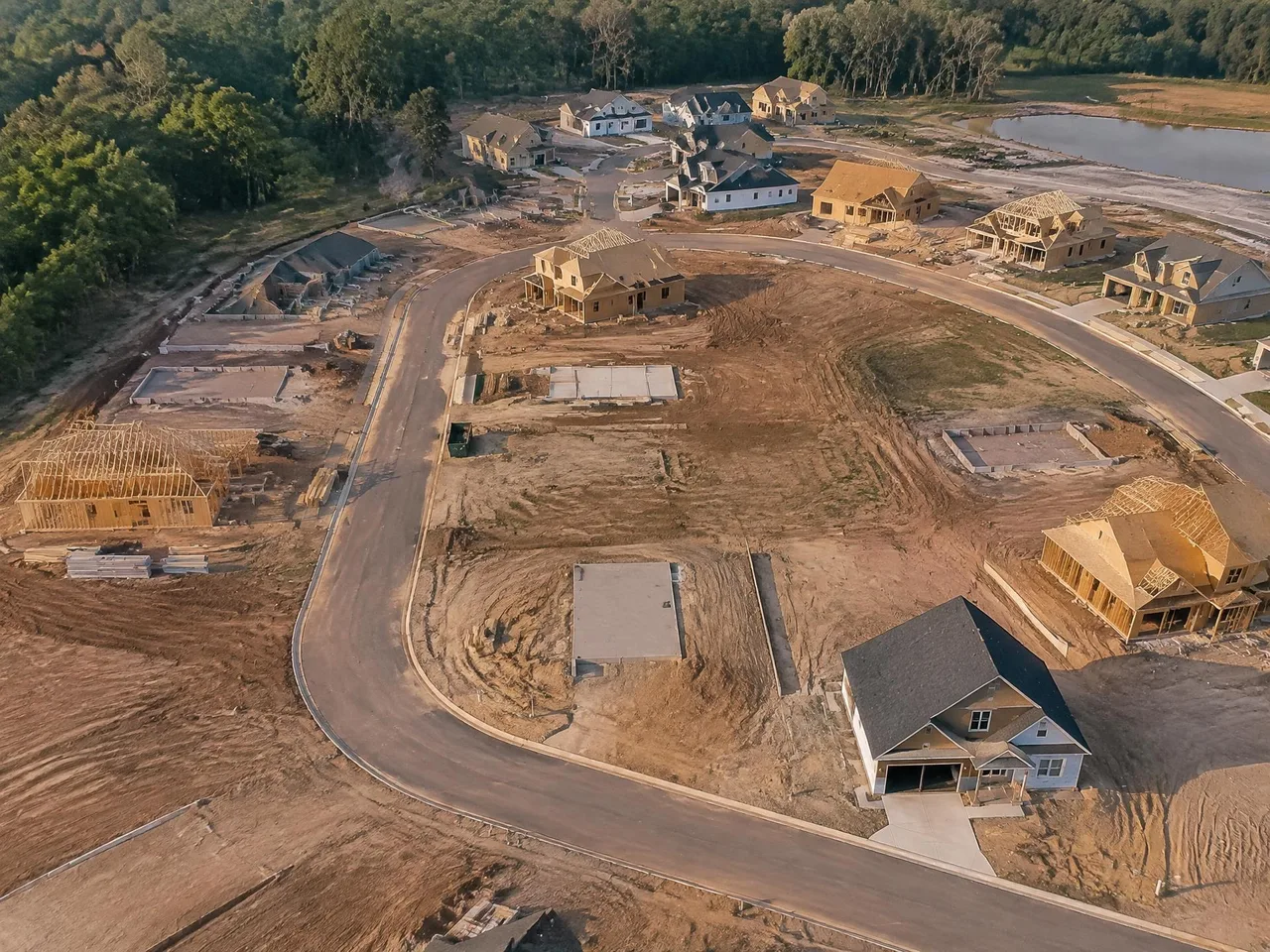
Land Developers
Aerial imagery and photogrammetric mapping for site planning, housing developments and due-diligence research.
Common needs
- Existing-conditions mapping
- Terrain and drainage information
- Historical site imagery
- Planning and entitlement exhibits
Related services
04 / Industry
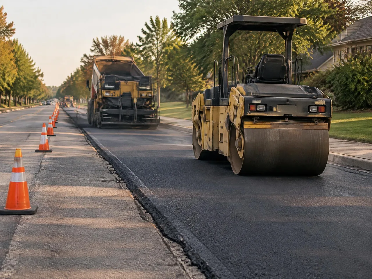
Municipalities & Public Agencies
City-wide GIS/LIS and digital mapping for municipal, Caltrans and federal projects.
Common needs
- Municipal base mapping
- City-wide GIS and LIS
- Transportation and hydrology mapping
- Coordinated digital orthophotography
Related services
Capabilities Statement →// Request a quote
Have a project on the board?
Send us your plans and schedule. We'll respond with a clear scope, fee and timeline.
Questions or quotes: Jeff Dillon, jeff@arrowheadmapping.com · (909) 889-2420