
// Service area · Orange County
Photogrammetric Mapping in Orange County
Master-planned communities, commercial centers and coastal properties.
Mapping in Orange County
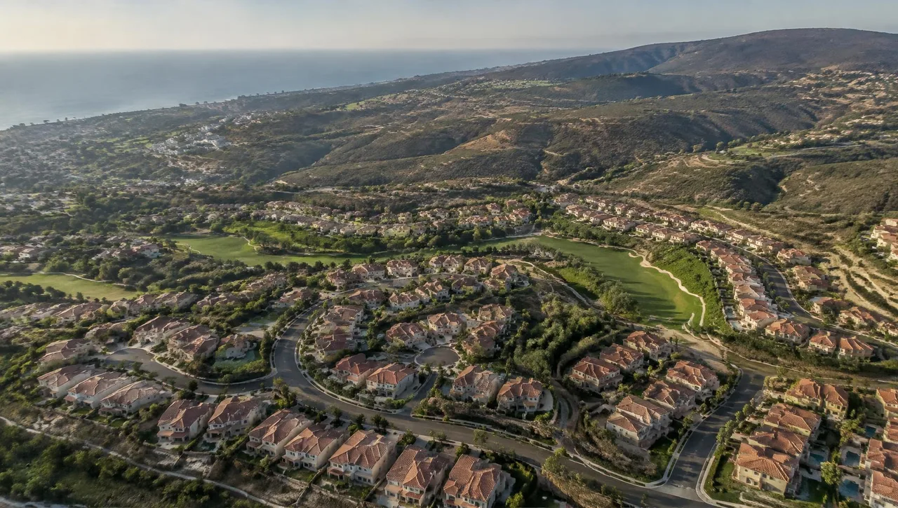
Orange County is known for large master-planned communities, business parks and well-established commercial centers. Projects here are frequently governed by detailed tract maps, easements and community standards, which puts a premium on coordinated terrain mapping and imagery for design.
Coastal cities bring their own considerations, from established neighborhoods with narrow lots to sites near bluffs and shorelines, while inland areas continue to see residential and mixed-use construction.
Cities served in Orange County
- Irvine
- Anaheim
- Santa Ana
- Costa Mesa
- Huntington Beach
- Orange
- Fullerton
- Newport Beach
- Mission Viejo
- Tustin
Relevant mapping services
Photogrammetric Mapping
Terrain and planimetrics for residential and mixed-use design.
Learn moreDigital Orthophotography
Base imagery for master-planned communities and exhibits.
Learn moreDTM & DEM
Terrain information for grading and drainage.
Learn moreGIS & LIS Mapping
Coordinated municipal GIS/LIS base layers.
Learn more
Orange County FAQs
How does mapping support master-planned communities?
Terrain models, planimetric mapping and orthophotos provide coordinated base information for grading, drainage and site planning.
Can imagery be paired with municipal GIS?
Digital orthophotos and mapped layers can support GIS/LIS base mapping. Share the receiving system’s coordinates, layers and file requirements.
What should I specify for coastal projects?
Share map scale, contour interval, accuracy and any agency requirements. Coordinate field control with your surveyor before aerial collection.
// Request a quote
Mapping work in Orange County
Send us your plans and schedule. We'll respond with a clear scope, fee and timeline.
Questions or quotes: Jeff Dillon, jeff@arrowheadmapping.com · (909) 889-2420