
// Service area · California Statewide
Photogrammetric Mapping Throughout California
Larger and multi-site projects beyond Southern California.
Mapping in California
While our focus is Southern California, we take on larger and multi-site projects throughout the state. Linear infrastructure and multi-location programs often benefit from consistent mapping specifications, coordinated imagery and one point of contact. Each site’s field control is supplied by the client’s surveyor.
Regions include the Central Valley, with its agricultural land and growing industrial corridors; the Central Coast; Northern California; and the San Diego region.
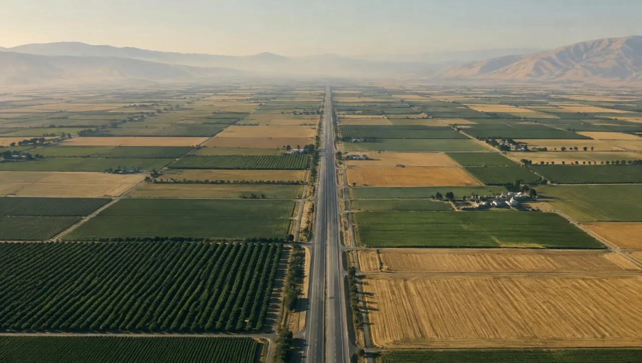
Regions served statewide
- Central Valley
- Central Coast
- Northern California
- San Diego region
Relevant mapping services
Photogrammetric Mapping
Large or remote site topography and planimetrics.
Learn moreAerial Photography (B&W, Color & Infrared)
Imagery for linear and multi-site projects.
Learn moreGIS & LIS Mapping
Consistent GIS/LIS datasets across locations.
Learn moreDigital Orthophotography
Uniform-scale imagery for coordinated base mapping.
Learn more
California Statewide FAQs
Do you work outside Southern California?
Arrowhead’s service area includes statewide California. Share the locations, scope and schedule to confirm availability and logistics.
Can mapping stay consistent across a multi-site program?
Use a shared coordinate framework, accuracy requirements, layer conventions and deliverable specifications. Field control for each site is supplied by the client’s surveyor.
What should be coordinated before collection?
Confirm mapping limits, map scale, contour specifications, image type, receiving formats and the supplied control information for each site.
// Request a quote
Mapping work in California
Send us your plans and schedule. We'll respond with a clear scope, fee and timeline.
Questions or quotes: Jeff Dillon, jeff@arrowheadmapping.com · (909) 889-2420