
Most project managers do not need to be told that aerial mapping and conventional ground survey both work. The real question is which one fits a specific site, accuracy requirement and schedule, and when the right answer is a combination of the two. This guide walks through the decision the way an experienced photogrammetrist does it.
The short version
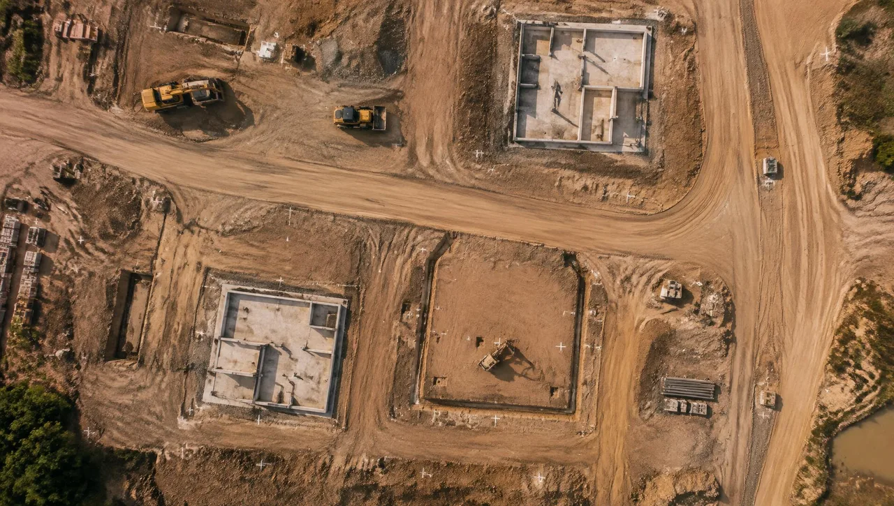
Aerial photogrammetry is generally the more efficient choice for large or hard-to-access areas where you need complete, continuous coverage of the surface. Ground survey (total station and RTK GNSS) is generally the better choice for small sites, for features that cannot be seen from above, and for the tightest vertical tolerances on hard surfaces. On many civil projects the best deliverable is a photogrammetric base map supplemented by targeted field shots.
Caltrans says much the same thing in its Surveys Manual: photogrammetry is described as a cost-efficient method for mapping large areas, and it is favored where field crews would be exposed to hazards or cannot gain access. The same chapter notes it is not the right tool when required accuracy exceeds what photogrammetry can deliver, or when a project is too small to justify the cost of photo control and processing.
Six factors that drive the decision
1. Required accuracy and how it will be verified
Start with the accuracy the design actually needs, stated as a number, not a scale. Under the current ASPRS Positional Accuracy Standards for Digital Geospatial Data (Edition 2, Version 2, 2024), accuracy is reported as root mean square error (RMSE) for horizontal (RMSEH) and vertical (RMSEV) components. If your spec still says "1 inch = 40 feet with 1-foot contours," translate it into RMSE targets before you compare methods.
Ground survey shots on hard, well-defined surfaces can typically be tighter than an aerial surface model. Photogrammetry measures every visible surface, so it captures grade changes between shots that a field crew might never pick up. For drainage design on a flat site, the density of an aerial surface can matter as much as the precision of individual points.
Whichever method you choose, ask how accuracy will be independently checked. ASPRS Edition 2 calls for a minimum of 30 independent checkpoints for typical project areas, surveyed to at least twice the accuracy of the product being tested.
2. Site size and shape
Field crew time scales roughly with the number of shots, so cost rises steadily with area. Photogrammetry carries a fixed setup cost (flight planning, ground control, aerotriangulation, processing) that is spread over the acreage. Small pads and single-lot jobs often favor a field crew. Corridors, large subdivisions, quarries, landfills and multi-hundred-acre parcels usually favor aerial collection.
3. Vegetation and ground visibility
Photogrammetry measures what the camera sees. Under dense brush, chaparral or tree canopy, the camera sees the top of the vegetation, not the ground. Caltrans' photogrammetry chapter makes the related point that features which cannot be seen in stereo imagery must be completed with field survey to meet accuracy requirements.
In Southern California, that matters for hillside development, wash crossings and anywhere native brush has not been cleared. Options include flying after brush clearance, supplementing with field shots in obscured areas, or using lidar, which can return some ground points through gaps in canopy. Treat obscured areas as a known limitation and plan the supplemental work up front.
4. What cannot be seen from the air
Aerial methods will not capture inverts, pipe sizes, utility rim-to-invert depths, interior structure details, finished-floor elevations behind walls or anything under a bridge deck or overhang. Those need a field crew. Utility locates and potholing are a separate effort either way.
5. Safety and access
Freeway shoulders, active rail, steep slopes, active mining or landfill faces and private parcels without right of entry are all places where aerial collection reduces exposure for field crews. Caltrans explicitly lists safety and inaccessibility as reasons to choose photogrammetry.
6. Schedule and record value
Aerial collection captures the whole site at one moment, which is useful for earthwork quantity snapshots, pre-construction condition records and progress documentation. Imagery also gives designers context that a line-work-only survey cannot.
The hybrid approach most civil projects end up using
A typical hybrid workflow looks like this:
- Establish project control by GNSS and conventional methods, tied to the required datum (for example, NAD83 California State Plane coordinates and NAVD88 elevations) (performed by your surveyor).
- Set and survey photo-identifiable ground control and independent checkpoints (performed by your surveyor).
- Fly the site and produce the photogrammetric surface, planimetrics and orthophoto.
- Field-survey the items aerial cannot capture: utility structures and inverts, obscured ground, critical hardscape and tie-in points (performed by your surveyor).
- Merge the datasets into one surface and drawing, and report tested accuracy.
This gives designers continuous coverage plus field-verified detail where it counts.
A note on licensing in California
Confirm licensing requirements for your project with your surveyor of record.
Choosing for your project
If you can answer four questions, you can usually pick the method: How large is the area? What RMSE does design need? How much of the ground is hidden by vegetation or structures? Are there access or safety constraints? Steve can review the aerial mapping scope with you; your surveyor supplies field control and any supplemental ground measurements.
FAQ
Is aerial mapping as accurate as a ground survey?
It depends on the surface and the specification. On open, hard surfaces, well-controlled aerial mapping can meet many design-level requirements, while field shots on well-defined points are often tighter. The way to know is independent checkpoint testing reported under the ASPRS standards.
Can photogrammetry map ground under trees and brush?
Not reliably. Photogrammetry measures the visible surface, so vegetated areas usually need field survey or lidar supplementation.
Do I still need a field crew if I order aerial mapping?
Usually yes. Ground control, checkpoints, utility structures, inverts and obscured areas all require field work.
Talk to us about your site
Send us your site boundary, accuracy requirements and schedule, and we will recommend the most efficient method. Call Arrowhead Mapping at (909) 889-2420 or use our contact form at /contact.
Sources:
- Caltrans, Surveys Manual, Chapter 13: Photogrammetry.
- ASPRS Positional Accuracy Standards for Digital Geospatial Data, Edition 2 (summary in LIDAR Magazine, Oct. 2023).
- Geo Week News, ASPRS approves Edition 2, Version 2 (2024).
- California Business and Professions Code section 8726.
- BPELSG Bulletin, "Unmanned Aerial Vehicles and Land Surveying Practice in California."